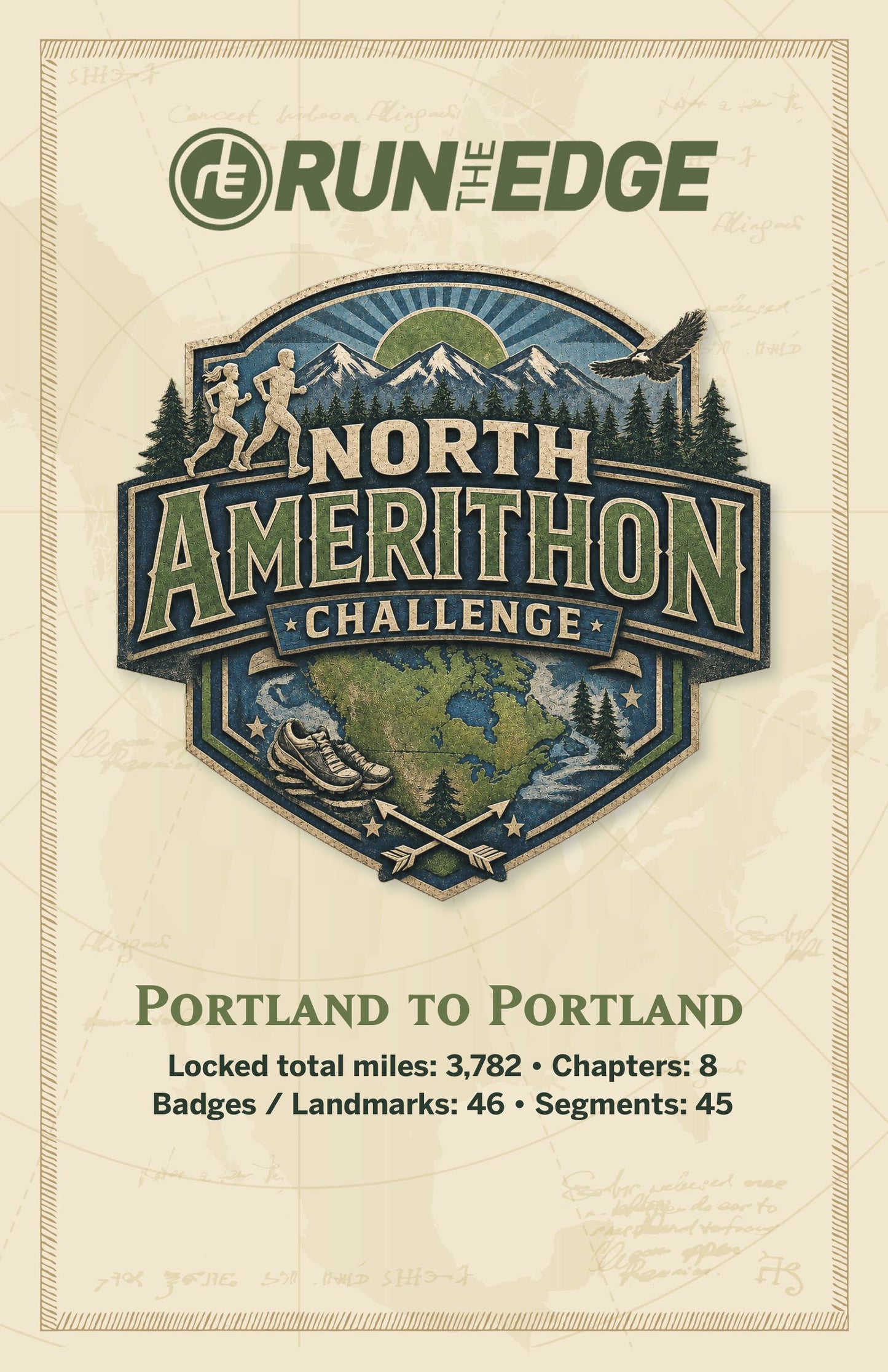
Your North Amerithon Guide Book: Every Mile, Mapped and Made Real
Guidebooks will be available to ship mid-September.
Eight chapters. 47 spiral bound pages. Every one of the 3,782 miles between Portland, Oregon and Portland Head Light in Maine — brought to life.
This isn't just a mileage tracker. It's the story of your entire crossing, told one landmark at a time. Trace your route from the Columbia River Gorge into Glacier National Park, watch the terrain shift from Yakima Canyon's basalt cliffs to a Bavarian village hiding in the Cascades, and cross into Canada at Waterton — the world's first international peace park.
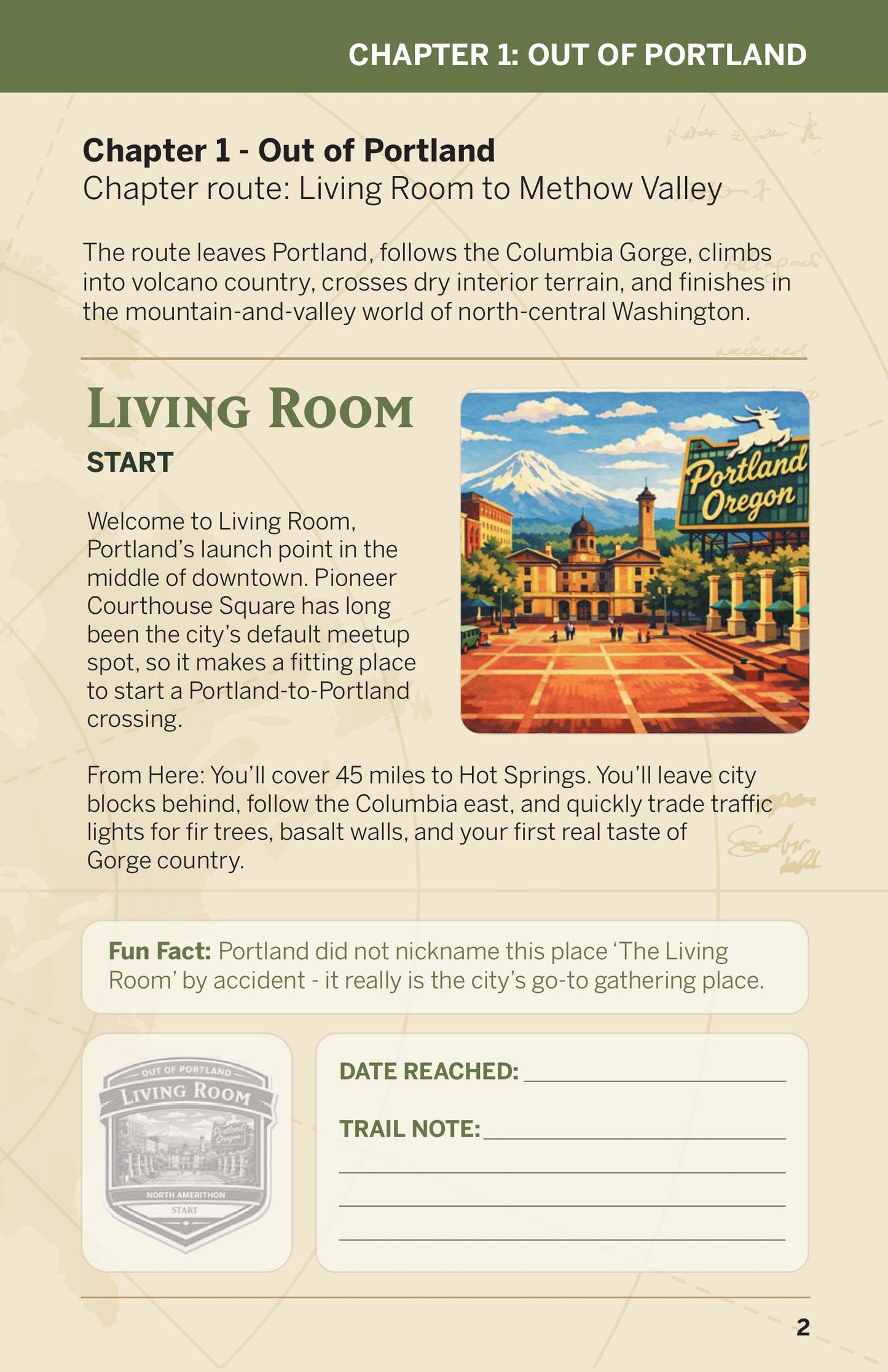
Each of the 46 landmark badges comes with its own page: where you are, what the terrain ahead looks like, and a fun fact you'll actually want to share — like the fact that Mount Adams was named by a mapmaker's mistake, or that Lake Pend Oreille is quiet enough that the U.S. Navy has used it for submarine research.
And when the miles are done for the day, there's a spot to write it down — the date you reached each badge, and a trail note to capture how it felt. By the time you reach the lighthouse at Atlantic Light, you won't just have a finisher's medal. You'll have a keepsake of the whole journey, written in your own hand.